
Daïra Draria topographic map
Interactive map
Click on the map to display elevation.
About this map
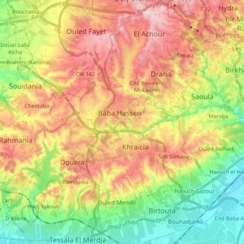
Name: Daïra Draria topographic map, elevation, terrain.
Location: Daïra Draria, Alger, RADP (36.62985 2.87789 36.74931 3.03109)
Average elevation: 136 m
Minimum elevation: 21 m
Maximum elevation: 264 m
Other topographic maps
Click on a map to view its topography, its elevation and its terrain.