Geolocate

Spile topographic map

Click on the map to display elevation.

About this map

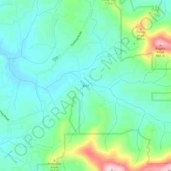
Name: Spile topographic map, elevation, terrain.

Location: Spile, Union County, Georgia, United States (34.91453 -83.99963 34.95453 -83.95963)

Average elevation: 646 m

Minimum elevation: 561 m

Maximum elevation: 898 m

Other topographic maps

Click on a map to view its topography, its elevation and its terrain.

Meeks Park

United States > Georgia > Union County

Average elevation: 563 m

Gear up for your next adventure:

🧼Biodegradable Camp Soap - Environmentally friendly cleaning for gear and body
🧦Crew Hiking Socks - Comfortable socks for long-distance hikes
👟Trail Running Shoes - Agile footwear for fast-paced topographic exploration
🧰Survival Kit - Essential gear for emergencies in the wilderness
🥾Durable Hiking Shoes - Long-lasting shoes for frequent hiking

As an Amazon Associate, this site earns from qualifying purchases at no extra cost to you.