Geolocate

Perod topographic map

Click on the map to display elevation.

About this map

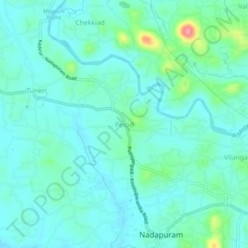
Name: Perod topographic map, elevation, terrain.

Location: Perod, Vadakara, Kozhikode District, Kerala, 673504, India (11.68294 75.62830 11.72294 75.66830)

Average elevation: 24 m

Minimum elevation: 5 m

Maximum elevation: 104 m

Other topographic maps

Click on a map to view its topography, its elevation and its terrain.

Vadakara

India > Kerala > Vadakara

Average elevation: 186 m

Gear up for your next adventure:

🔨Vehicle Emergency Tool - Safety tool for remote road trips to trailheads
🧤Rechargeable Heated Gloves - Extreme warmth for Canadian winter expeditions
🛌Down Sleeping Bag - Superior warmth-to-weight ratio for cold nights
🧤Insulated Winter Gloves - Heavy-duty protection for sub-zero Canadian adventures
🧼Biodegradable Camp Soap - Environmentally friendly cleaning for gear and body

As an Amazon Associate, this site earns from qualifying purchases at no extra cost to you.