Geolocate

Neffs topographic map

Click on the map to display elevation.

About this map

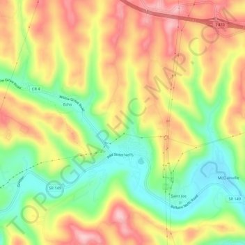
Name: Neffs topographic map, elevation, terrain.

Location: Neffs, Belmont County, Ohio, 43940, United States (40.01186 -80.83223 40.05365 -80.79425)

Average elevation: 300 m

Minimum elevation: 204 m

Maximum elevation: 393 m

Gear up for your next adventure:

🧢Outdoor Visor - Breathable visor for sunny hikes
🥘Camping Cookware Set - Compact nesting pots and pans for trail cooking
👟Sport Hiking Sandals - Breathable footwear for water crossings and camp rest
🛌Insulated Sleeping Pad - Critical thermal barrier between you and the cold ground
💧Hydration Bladder - Hands-free hydration solution for long treks

As an Amazon Associate, this site earns from qualifying purchases at no extra cost to you.