
Caburgua topographic map
Interactive map
Click on the map to display elevation.
About this map
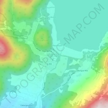
Name: Caburgua topographic map, elevation, terrain.
Location: Caburgua, Provincia de Cautín, Araucanie, Chili (-39.21938 -71.82813 -39.17938 -71.78813)
Average elevation: 556 m
Minimum elevation: 383 m
Maximum elevation: 1,057 m