Geolocate

Kolhapur topographic map

Click on the map to display elevation.

About this map

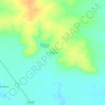
Name: Kolhapur topographic map, elevation, terrain.

Location: Kolhapur, Deoli, Wardha, Maharashtra, India (20.54535 78.34600 20.58535 78.38600)

Average elevation: 256 m

Minimum elevation: 244 m

Maximum elevation: 277 m

Gear up for your next adventure:

🥾Trail Running Boots - Durable shoes designed for trail running
🚲Bike Repair Kit - Essential tools for on-trail mechanical issues
🧼Biodegradable Camp Soap - Environmentally friendly cleaning for gear and body
🧥Packable Rain Jacket - Breathable waterproof layer for unpredictable weather
🧭GPS Handheld Device - Reliable GPS navigation for outdoor adventures

As an Amazon Associate, this site earns from qualifying purchases at no extra cost to you.