
Gates Lake topographic map
Interactive map
Click on the map to display elevation.
About this map
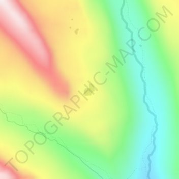
Name: Gates Lake topographic map, elevation, terrain.
Location: Gates Lake, Duchesne County, Utah, United States (40.68943 -110.58110 40.69126 -110.57897)
Average elevation: 3,121 m
Minimum elevation: 2,821 m
Maximum elevation: 3,510 m
Other topographic maps
Click on a map to view its topography, its elevation and its terrain.
Pinto Lake
United States > Utah > Duchesne County
Pinto Lake, Duchesne County, Utah, United States
Average elevation: 3,106 m
Kings Peak
United States > Utah > Duchesne County
Kings Peak, Duchesne County, Utah, United States
Average elevation: 3,743 m