
Thank you for supporting this site ❤️
Make a donation
Make a donation
Gear up for your next adventure:
As an Amazon Associate, this site earns from qualifying purchases at no extra cost to you.
Shulinab topographic map
Click on the map to display elevation.
Thank you for supporting this site ❤️
Make a donation
Make a donation
Gear up for your next adventure:
As an Amazon Associate, this site earns from qualifying purchases at no extra cost to you.
About this map
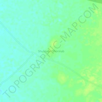
Name: Shulinab topographic map, elevation, terrain.
Location: Shulinab, Ireng - Sawariwau, Guayana Esequiba, Guyana (3.04639 -59.73522 3.08639 -59.69522)
Average elevation: 109 m
Minimum elevation: 103 m
Maximum elevation: 115 m
Thank you for supporting this site ❤️
Make a donation
Make a donation
Gear up for your next adventure:
As an Amazon Associate, this site earns from qualifying purchases at no extra cost to you.