Geolocate

Breaks topographic map

Click on the map to display elevation.

About this map

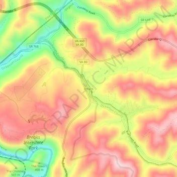
Name: Breaks topographic map, elevation, terrain.

Location: Breaks, Dickenson County, Virginia, 24607, United States (37.27594 -82.30098 37.31594 -82.26098)

Average elevation: 486 m

Minimum elevation: 290 m

Maximum elevation: 621 m

Other topographic maps

Click on a map to view its topography, its elevation and its terrain.

Clinchco

United States > Virginia > Dickenson County

Average elevation: 531 m

Russel Fork

United States > Virginia > Dickenson County > Haysi

Average elevation: 513 m

Gear up for your next adventure:

🧥Packable Rain Jacket - Breathable waterproof layer for unpredictable weather
🥾Hiking Shoes - Durable and comfortable shoes for trail hiking
💧Collapsible Water Bottle - Space-saving water bottle for outdoor activities
🥾Mountain Hiking Shoes - Shoes with superior grip for mountainous terrain
🌡️Emergency Mylar Blankets - Compact thermal protection for unexpected nights outdoors

As an Amazon Associate, this site earns from qualifying purchases at no extra cost to you.