
Araria topographic map
Interactive map
Click on the map to display elevation.
About this map
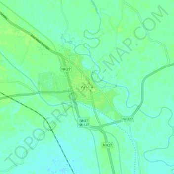
Name: Araria topographic map, elevation, terrain.
Location: Araria, पूर्णियाँ, Araria, Bihar, 854311, India (26.09465 87.42541 26.17465 87.50541)
Average elevation: 50 m
Minimum elevation: 46 m
Maximum elevation: 55 m