
Ait topographic map
Interactive map
Click on the map to display elevation.
About this map
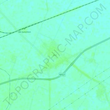
Name: Ait topographic map, elevation, terrain.
Location: Ait, Orai, Jalaun, Uttar Pradesh, India (25.87328 79.22190 25.91328 79.26190)
Average elevation: 154 m
Minimum elevation: 150 m
Maximum elevation: 156 m