Geolocate

Atlantic topographic map

Click on the map to display elevation.

About this map

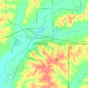
Name: Atlantic topographic map, elevation, terrain.

Location: Atlantic, Cass County, Iowa, 50022, United States (41.36369 -95.05387 41.44369 -94.97387)

Average elevation: 369 m

Minimum elevation: 340 m

Maximum elevation: 413 m

Gear up for your next adventure:

Camping Coffee Maker - Brew fresh coffee anywhere on the topographic map
🧥Packable Rain Jacket - Breathable waterproof layer for unpredictable weather
👟Sport Hiking Sandals - Breathable footwear for water crossings and camp rest
🥾Waterproof Hiking Boots - Boots keeping your feet dry in wet conditions
🥾Trekking Poles - Adjustable trekking poles to reduce knee stress and improve stability

As an Amazon Associate, this site earns from qualifying purchases at no extra cost to you.