
Warburg topographic map
Interactive map
Click on the map to display elevation.
About this map
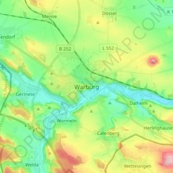
Name: Warburg topographic map, elevation, terrain.
Location: Warburg, Kreis Höxter, North Rhine-Westphalia, 34414, Germany (51.44865 9.10884 51.52865 9.18884)
Average elevation: 212 m
Minimum elevation: 151 m
Maximum elevation: 330 m