Geolocate

Rupit topographic map

Click on the map to display elevation.

About this map

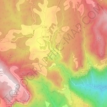
Name: Rupit topographic map, elevation, terrain.

Location: Rupit, Rupit i Pruit, Osona, Barcelona, Cataluña, 08569, España (42.00433 2.44539 42.04433 2.48539)

Average elevation: 903 m

Minimum elevation: 452 m

Maximum elevation: 1,184 m

Gear up for your next adventure:

🦶Hiking Shoe Insoles - Added support for high arches and long days on feet
🥾Hiking Leggings - Comfortable leggings for outdoor activities
🛌Insulated Sleeping Pad - Critical thermal barrier between you and the cold ground
Bushcraft Tarp - Versatile emergency shelter or gear protection
🔦LED Headlamp - Hands-free lighting for early morning starts or late finishes

As an Amazon Associate, this site earns from qualifying purchases at no extra cost to you.