Geolocate

Elde topographic map

Click on the map to display elevation.

About this map

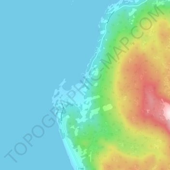
Name: Elde topographic map, elevation, terrain.

Location: Elde, Kvæfjord, Troms og Finnmark, Norway (68.80556 16.08831 68.84556 16.12831)

Average elevation: 93 m

Minimum elevation: -2 m

Maximum elevation: 430 m

Gear up for your next adventure:

🥾Approach Shoes - Shoes designed for climbing approaches and rugged trails
🥾Hiking Leggings - Comfortable leggings for outdoor activities
🛁Quick-Dry Microfiber Towel - Space-saving towel that dries rapidly on the move
🌡️Emergency Mylar Blankets - Compact thermal protection for unexpected nights outdoors
Lightweight Camping Tent - Portable shelter optimized for Canadian backcountry camping

As an Amazon Associate, this site earns from qualifying purchases at no extra cost to you.