
Jim topographic map
Interactive map
Click on the map to display elevation.
About this map
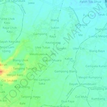
Name: Jim topographic map, elevation, terrain.
Location: Jim, Indrajaya, Pidie, Aceh, 24164, Indonésie (5.28122 95.91897 5.32122 95.95897)
Average elevation: 21 m
Minimum elevation: 11 m
Maximum elevation: 50 m