
Drăgoteni topographic map
Interactive map
Click on the map to display elevation.
About this map
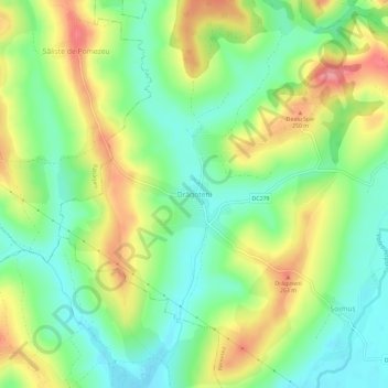
Name: Drăgoteni topographic map, elevation, terrain.
Location: Drăgoteni, Bihor, 417411, Rumänien (46.71215 22.28668 46.75215 22.32668)
Average elevation: 212 m
Minimum elevation: 175 m
Maximum elevation: 265 m