
Hoover topographic map
Interactive map
Click on the map to display elevation.
About this map
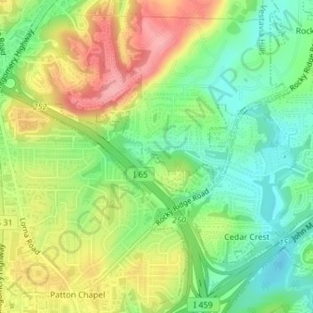
Name: Hoover topographic map, elevation, terrain.
Location: Hoover, Jefferson County, Alabama, États-Unis d'Amérique (33.40594 -86.79032 33.40634 -86.78947)
Average elevation: 172 m
Minimum elevation: 123 m
Maximum elevation: 236 m