Geolocate

93105 topographic map

Click on the map to display elevation.

About this map
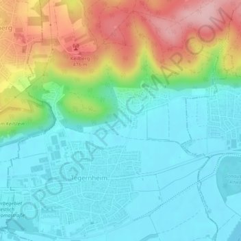
Name: 93105 topographic map, elevation, terrain.

Location: 93105, Tegernheim, Landkreis Regensburg, Bavaria, Germany (49.03141 12.17920 49.03151 12.17930)

Average elevation: 380 m

Minimum elevation: 324 m

Maximum elevation: 504 m

Gear up for your next adventure:

🎒Fully Waterproof Backpack - Total protection for photography gear and electronics
💧Reusable Water Bottle - Durable water bottles for hydration on trails
🧳Compression Sacks - Maximize space in your backpack by shrinking gear
🧭GPS Tracker - Track your location in remote areas safely
❄️Traction Ice Cleats - Slip-on spikes for icy trails and winter hiking

As an Amazon Associate, this site earns from qualifying purchases at no extra cost to you.