Geolocate

Arag topographic map

Click on the map to display elevation.

About this map

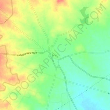
Name: Arag topographic map, elevation, terrain.

Location: Arag, Miraj, Sangli District, Maharashtra, 416401, India (16.77059 74.78545 16.81059 74.82545)

Average elevation: 607 m

Minimum elevation: 579 m

Maximum elevation: 640 m

Gear up for your next adventure:

🧤Rechargeable Heated Gloves - Extreme warmth for Canadian winter expeditions
🔥Camping Stove - Portable stoves to cook outdoors with ease
💡Compact LED Flashlight - Powerful and portable flashlight for outdoor use
🧦Merino Wool Socks - Moisture-wicking comfort for long-distance hiking
🎒Hiking Backpack - Lightweight and ergonomic backpacks for day hikes or multi-day treks

As an Amazon Associate, this site earns from qualifying purchases at no extra cost to you.