Geolocate

Sugga topographic map

Click on the map to display elevation.

About this map

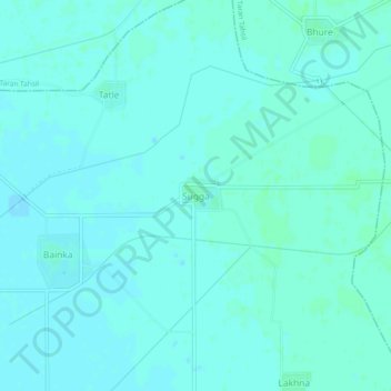
Name: Sugga topographic map, elevation, terrain.

Location: Sugga, Patti Tahsil, Tarn Taran District, Punjab, India (31.34290 74.74664 31.38290 74.78664)

Average elevation: 219 m

Minimum elevation: 217 m

Maximum elevation: 223 m

Gear up for your next adventure:

🦯Trekking Poles - Reduced impact on joints for steep topographic climbs
🥤Collapsible Travel Cup - Saves space and weight in your mess kit
🦶Anti-Blister Balm - Prevents friction and hotspots during long ascents
🛏️Camping Sleeping Mat - Comfortable mats for sleeping outdoors
💡Compact LED Flashlight - Powerful and portable flashlight for outdoor use

As an Amazon Associate, this site earns from qualifying purchases at no extra cost to you.