
Saints-Anges topographic map
Interactive map
Click on the map to display elevation.
About this map
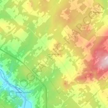
Name: Saints-Anges topographic map, elevation, terrain.
Average elevation: 340 m
Minimum elevation: 139 m
Maximum elevation: 612 m
Routes: La Nouvelle-Beauce GPS tracks, routes, trails, hikes
Other topographic maps
Click on a map to view its topography, its elevation and its terrain.