
Thank you for supporting this site ❤️
Make a donation
Make a donation
Gear up for your next adventure:
As an Amazon Associate, this site earns from qualifying purchases at no extra cost to you.
Mulbekh topographic map
Click on the map to display elevation.
Thank you for supporting this site ❤️
Make a donation
Make a donation
Gear up for your next adventure:
As an Amazon Associate, this site earns from qualifying purchases at no extra cost to you.
About this map
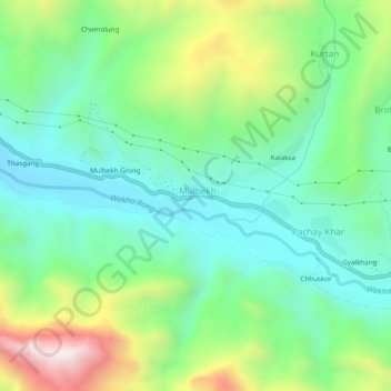
Name: Mulbekh topographic map, elevation, terrain.
Location: Mulbekh, Kargil Tehsil, Kargil district, Ladakh, India (34.35947 76.34893 34.39947 76.38893)
Average elevation: 3,509 m
Minimum elevation: 3,236 m
Maximum elevation: 4,126 m
Thank you for supporting this site ❤️
Make a donation
Make a donation
Gear up for your next adventure:
As an Amazon Associate, this site earns from qualifying purchases at no extra cost to you.