Geolocate

丁桥 topographic map

Click on the map to display elevation.

About this map

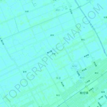
Name: 丁桥 topographic map, elevation, terrain.

Location: 丁桥, Banjing, Rugao, Nantong, Jiangsu, 226500, China (32.29582 120.36687 32.33582 120.40687)

Average elevation: 6 m

Minimum elevation: 4 m

Maximum elevation: 8 m

Gear up for your next adventure:

💡Portable Camping Lamp - Rechargeable lamp for campsite lighting
🥘Camping Cookware Set - Compact nesting pots and pans for trail cooking
🚑Survival Whistle - Signal for help across long distances in mountains
🧴First Aid Kit - Essential first aid supplies for outdoor emergencies
🥤Collapsible Travel Cup - Saves space and weight in your mess kit

As an Amazon Associate, this site earns from qualifying purchases at no extra cost to you.