Geolocate

Chassahowitzka topographic map

Click on the map to display elevation.

About this map

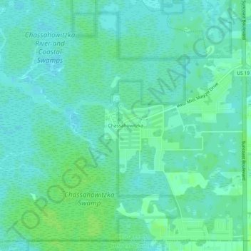
Name: Chassahowitzka topographic map, elevation, terrain.

Location: Chassahowitzka, Citrus County, Florida, United States (28.69304 -82.59427 28.73304 -82.55427)

Average elevation: 4 m

Minimum elevation: 0 m

Maximum elevation: 9 m

Other topographic maps

Click on a map to view its topography, its elevation and its terrain.

Crystal River

United States > Florida > Citrus County

Average elevation: 4 m

Citrus Hills

United States > Florida > Citrus County

Average elevation: 29 m

Gear up for your next adventure:

🧥Insulated Jacket - Keep warm in cold outdoor conditions
🧭Orienteering Kit - Tools for map reading and navigation in the wild
🥾Hiking Shorts - Breathable shorts suitable for summer hikes
Camping Tent - Weather-resistant tents suitable for 2 to 6 people
🛌Down Sleeping Bag - Superior warmth-to-weight ratio for cold nights

As an Amazon Associate, this site earns from qualifying purchases at no extra cost to you.