Geolocate

Tercer Milenio topographic map

Click on the map to display elevation.

About this map

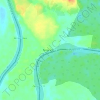
Name: Tercer Milenio topographic map, elevation, terrain.

Location: Tercer Milenio, Vista Hermosa, Ariari, Meta, Colombia (2.33577 -73.43878 2.37577 -73.39878)

Average elevation: 211 m

Minimum elevation: 195 m

Maximum elevation: 242 m

Gear up for your next adventure:

🔨Vehicle Emergency Tool - Safety tool for remote road trips to trailheads
🧴Outdoor Sunscreen - High SPF protection for high-altitude UV exposure
🥾Light Trekking Boots - Supportive boots for multi-day treks
🧦Merino Wool Socks - Moisture-wicking comfort for long-distance hiking
🕶️Polarized Sunglasses - Reduces glare from snow and water at high elevations

As an Amazon Associate, this site earns from qualifying purchases at no extra cost to you.