Geolocate

Cibeber topographic map

Click on the map to display elevation.

About this map

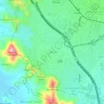
Name: Cibeber topographic map, elevation, terrain.

Location: Cibeber, Cimahi, West Java, Java, 40521, Indonesia (-6.91365 107.49836 -6.87365 107.53836)

Average elevation: 723 m

Minimum elevation: 640 m

Maximum elevation: 932 m

Other topographic maps

Click on a map to view its topography, its elevation and its terrain.

Cimahi

Indonesia > West Java > Cimahi > Baros

Average elevation: 715 m

Gear up for your next adventure:

🧢Hiking Sun Hat - Wide-brimmed protection for exposed mountain ridges
🚲Handlebar Phone Mount - View topographic-map.com live while cycling
🏃Hydration Running Vest - Carry water and maps close to your body for speed
🥘Camping Cookware Set - Compact nesting pots and pans for trail cooking
🧥Fleece Jacket - Warm and lightweight jacket for layering

As an Amazon Associate, this site earns from qualifying purchases at no extra cost to you.