Geolocate

Hazipur topographic map

Click on the map to display elevation.

About this map
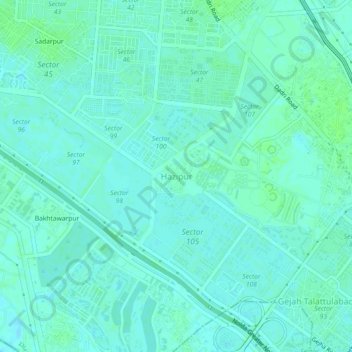
Name: Hazipur topographic map, elevation, terrain.

Location: Hazipur, Noida, Dadri, Gautam Buddha Nagar, Uttar Pradesh, 201301, India (28.51841 77.34710 28.55841 77.38710)

Average elevation: 199 m

Minimum elevation: 196 m

Maximum elevation: 203 m

Other topographic maps

Click on a map to view its topography, its elevation and its terrain.

Priyadarshani Park

India > Uttar Pradesh > Dadri > Noida > Sector 10

Average elevation: 204 m

Gear up for your next adventure:

🧥Thermal Layer - Insulating layer for cold outdoor conditions
🥾Waterproof Hiking Boots - Essential footwear for rugged terrain and wet Canadian trails
🛰️Satellite Messenger - Emergency communication for areas with no cell service
🐕Hiking Dog Pack - Let your canine companion carry their own water and food
🕶️Polarized Sunglasses - Protect your eyes with durable polarized lenses

As an Amazon Associate, this site earns from qualifying purchases at no extra cost to you.