Geolocate

Mather topographic map

Click on the map to display elevation.

About this map
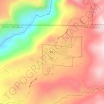
Name: Mather topographic map, elevation, terrain.

Location: Mather, Tuolumne County, California, United States (37.86215 -119.87573 37.90215 -119.83573)

Average elevation: 1,352 m

Minimum elevation: 852 m

Maximum elevation: 1,689 m

Other topographic maps

Click on a map to view its topography, its elevation and its terrain.

Columbia

United States > California > Tuolumne County

Columbia is located along State Route 49 just north of Sonora, at an altitude of 2,139 feet (652 m).

Average elevation: 672 m

Siesta Lake

United States > California > Tuolumne County

Average elevation: 2,480 m

East Sonora

United States > California > Tuolumne County

Average elevation: 675 m

Budd Lake

United States > California > Tuolumne County

Average elevation: 3,101 m

Pinecrest Lake

United States > California > Tuolumne County

Average elevation: 1,799 m

Mono Vista

United States > California > Tuolumne County

Average elevation: 929 m

Gear up for your next adventure:

🥾Trail Running Shoes - Lightweight and durable shoes for trail running
🎒Hiking Daypack - Lightweight and durable backpacks for day trips and excursions
🛏️Camping Sleeping Mat - Comfortable mats for sleeping outdoors
🧢Sun Hat - Wide-brim hat for sun protection
🐕Hiking Dog Pack - Let your canine companion carry their own water and food

As an Amazon Associate, this site earns from qualifying purchases at no extra cost to you.