
Shiren topographic map
Interactive map
Click on the map to display elevation.
About this map
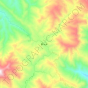
Name: Shiren topographic map, elevation, terrain.
Location: Shiren, Wanyuan City, Dazhou City, Sichuan, PRC (31.90021 107.84205 31.98021 107.92205)
Average elevation: 1,056 m
Minimum elevation: 524 m
Maximum elevation: 1,708 m