Geolocate

Kiharong topographic map

Click on the map to display elevation.

About this map
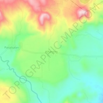
Name: Kiharong topographic map, elevation, terrain.

Location: Kiharong, Maramag, Bukidnon, Northern Mindanao, 8714, Philippines (7.83923 124.97277 7.87923 125.01277)

Average elevation: 575 m

Minimum elevation: 443 m

Maximum elevation: 782 m

Other topographic maps

Click on a map to view its topography, its elevation and its terrain.

Pulangi Dam

Philippines > Bukidnon > Maramag > Panadtalan

Average elevation: 295 m

Gear up for your next adventure:

👟Leg Gaiters - Keep debris, mud, and snow out of your boots
🧦Merino Wool Socks - Moisture-wicking comfort for long-distance hiking
🧢Sun Hat - Wide-brim hat for sun protection
🧰Multitool Knife - Compact and versatile tool for outdoor use
🥾Trekking Poles - Adjustable trekking poles to reduce knee stress and improve stability

As an Amazon Associate, this site earns from qualifying purchases at no extra cost to you.