
Burnstown topographic map
Interactive map
Click on the map to display elevation.
About this map
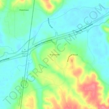
Name: Burnstown topographic map, elevation, terrain.
Location: Burnstown, Colbert County, Alabama, United States (34.62315 -88.13893 34.66315 -88.09893)
Average elevation: 154 m
Minimum elevation: 127 m
Maximum elevation: 212 m