Geolocate

Mitki topographic map

Click on the map to display elevation.

About this map

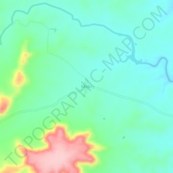
Name: Mitki topographic map, elevation, terrain.

Location: Mitki, Atpadi, Sangli District, Maharashtra, 415308, India (17.33943 74.80034 17.37943 74.84034)

Average elevation: 675 m

Minimum elevation: 625 m

Maximum elevation: 815 m

Gear up for your next adventure:

🪜Heavy Duty Carabiners - Multi-use clips for securing gear to your backpack
🥤Collapsible Travel Cup - Saves space and weight in your mess kit
🧥Thermal Fleece Jacket - Versatile insulation for changing mountain temperatures
🛁Quick-Dry Microfiber Towel - Space-saving towel that dries rapidly on the move
🛰️Satellite Messenger - Emergency communication for areas with no cell service

As an Amazon Associate, this site earns from qualifying purchases at no extra cost to you.