Geolocate

Mitchel Building topographic map

Click on the map to display elevation.

About this map

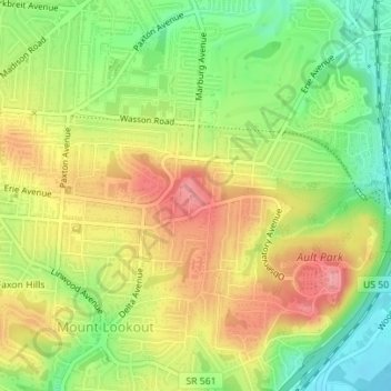
Name: Mitchel Building topographic map, elevation, terrain.

Location: Mitchel Building, 3474, Observatory Place, Observatory Historic District, Mount Lookout, Cincinnati, Hamilton County, Ohio, 45208, United States (39.13863 -84.42223 39.13881 -84.42204)

Average elevation: 198 m

Minimum elevation: 146 m

Maximum elevation: 248 m

Other topographic maps

Click on a map to view its topography, its elevation and its terrain.

Mount Adams

United States > Ohio > Hamilton County > Cincinnati

Average elevation: 181 m

Fox Acres

United States > Ohio > Hamilton County > Cincinnati

Average elevation: 261 m

Pendleton

United States > Ohio > Hamilton County > Cincinnati

Average elevation: 188 m

Finneytown

United States > Ohio > Hamilton County > Cincinnati

Average elevation: 237 m

Gear up for your next adventure:

🥾Hiking Gaiters - Protect legs and shoes from mud, snow, and debris
🥾Mountaineering Boots - Supportive boots for climbing and high-altitude hiking
🛁Quick-Dry Microfiber Towel - Space-saving towel that dries rapidly on the move
💧Hydration Bladder - Hands-free hydration solution for long treks
🔦LED Headlamp - Hands-free lighting for early morning starts or late finishes

As an Amazon Associate, this site earns from qualifying purchases at no extra cost to you.