
Akarere ka Nyarugenge topographic map
Interactive map
Click on the map to display elevation.
About this map
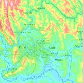
Name: Akarere ka Nyarugenge topographic map, elevation, terrain.
Location: Akarere ka Nyarugenge, Kigali, Ruanda (-2.07982 29.97953 -1.77934 30.27987)
Average elevation: 1,546 m
Minimum elevation: 1,334 m
Maximum elevation: 2,218 m