Geolocate

Chamdoli topographic map

Click on the map to display elevation.

About this map

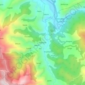
Name: Chamdoli topographic map, elevation, terrain.

Location: Chamdoli, Ranikhet, Almora District, Uttarakhand, India (29.65508 79.34418 29.69508 79.38418)

Average elevation: 1,141 m

Minimum elevation: 890 m

Maximum elevation: 1,565 m

Other topographic maps

Click on a map to view its topography, its elevation and its terrain.

Gagas

India > Uttarakhand > Ranikhet > Tipola

Average elevation: 1,125 m

Gear up for your next adventure:

💧Filtered Water Bottle - Safe drinking water on the go
🔭Outdoor Binoculars - Lightweight binoculars for birdwatching and hiking
🧦Hiking Liner Socks - Thin base layer to prevent friction and blisters
🧥Waterproof Jacket - Lightweight rain jackets for hiking and outdoor activities
🥾Mountain Trail Shoes - High-traction shoes for mountain trails

As an Amazon Associate, this site earns from qualifying purchases at no extra cost to you.