Geolocate

Badwani topographic map

Click on the map to display elevation.

About this map

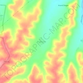
Name: Badwani topographic map, elevation, terrain.

Location: Badwani, Gangakhed, Parbhani District, Maharashtra, India (18.80409 76.69365 18.84409 76.73365)

Average elevation: 470 m

Minimum elevation: 418 m

Maximum elevation: 519 m

Gear up for your next adventure:

🚲Bike Repair Kit - Essential tools for on-trail mechanical issues
🔥Emergency Fire Starter - Reliable ignition source for all weather conditions
🧴First Aid Kit - Essential first aid supplies for outdoor emergencies
🧥Fleece Jacket - Warm and lightweight jacket for layering
🧴Waterproofing Spray - Restore the DWR coating on jackets and tents

As an Amazon Associate, this site earns from qualifying purchases at no extra cost to you.