
Champhai topographic map
Click on the map to display elevation.
About this map
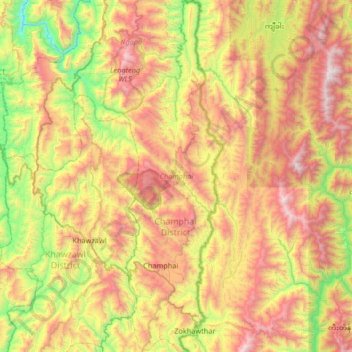
Name: Champhai topographic map, elevation, terrain.
Location: Champhai, Champhai District, Mizoram, 796321, India (23.32964 93.25127 23.93434 93.43737)
Average elevation: 1,125 m
Minimum elevation: 197 m
Maximum elevation: 2,349 m