

Bahraich topographic map
Click on the map to display elevation.
Bahraich
It has an average elevation of 126 metres (413 feet). Bahraich has a warm humid subtropical climate with hot summers from April to July. The rainy season is from July to mid-September when Bahraich gets an average rainfall from the south-west monsoon winds, and occasionally frontal rainfall will occur in January. In winter the maximum temperature is around 25 °C (77 °F) and the minimum is in the −1 to 7 °C (30 to 45 °F) range. Fog is quite common from late December to late January. Summers are extremely hot with temperatures rising to the 40 to 47 °C (104 to 117 °F) range, the average highs being in the high of 30s (degree Celsius). Average annual rainfall is 1,900 centimetres (750 inches) (approx).
About this map
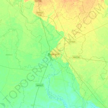
Name: Bahraich topographic map, elevation, terrain.
Location: Bahraich, Bahraich District, Uttar Pradesh, 271801, India (27.41520 81.43540 27.73520 81.75540)
Average elevation: 120 m
Minimum elevation: 109 m
Maximum elevation: 134 m