
Ilala topographic map
Interactive map
Click on the map to display elevation.
About this map
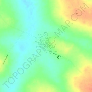
Name: Ilala topographic map, elevation, terrain.
Location: Ilala, Irepodun, Kwara State, Nigeria (8.31902 4.82041 8.32854 4.83231)
Average elevation: 371 m
Minimum elevation: 349 m
Maximum elevation: 399 m
Other topographic maps
Click on a map to view its topography, its elevation and its terrain.
Omu Aran
Nigeria > Kwara State > Irepodun
Omu Aran, Irepodun, Kwara State, 251101, Nigeria
Average elevation: 539 m