Geolocate

Forbes Lake topographic map

Click on the map to display elevation.

About this map

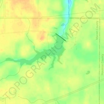
Name: Forbes Lake topographic map, elevation, terrain.

Location: Forbes Lake, Macon County, Georgia, United States (32.42588 -83.86564 32.43524 -83.84712)

Average elevation: 126 m

Minimum elevation: 105 m

Maximum elevation: 137 m

Gear up for your next adventure:

🧥Softshell Jacket - Windproof and breathable jacket for hiking
🎒Hiking Daypack - Lightweight and durable backpacks for day trips and excursions
🥾Trail Hiking Socks - Comfortable socks to prevent blisters and fatigue
📷Outdoor Action Camera - Capture high-elevation views and rugged adventures
🔋Solar Power Bank - Keep your GPS and devices charged during long outdoor trips

As an Amazon Associate, this site earns from qualifying purchases at no extra cost to you.