
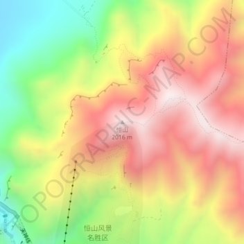
Mont Heng topographic map
Interactive map
Click on the map to display elevation.
About this map
Name: Mont Heng topographic map, elevation, terrain.
Location: Mont Heng, 浑源县, 浑源县 (Hunyuan), 大同市 / Datong, Shanxi, RPC (39.67432 113.73283 39.67442 113.73293)
Average elevation: 1,677 m
Minimum elevation: 1,166 m
Maximum elevation: 2,024 m