
Sint Annen topographic map
Interactive map
Click on the map to display elevation.
About this map
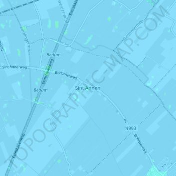
Name: Sint Annen topographic map, elevation, terrain.
Location: Sint Annen, Groningen, Niederlande, 9796, Niederlande (53.27795 6.64527 53.31795 6.68527)
Average elevation: -1 m
Minimum elevation: -3 m
Maximum elevation: 2 m