
Fresno del Río topographic map
Click on the map to display elevation.
Fresno del Río
Fresno del Río es una localidad del municipio cántabro de Campoo de Enmedio (España). Cuenta con una población de 150 habitantes, a uno de enero del año 2021, según el INE. Se encuentra a una altitud de 907 m s. n. m. Dista 5,5 kilómetros de la capital municipal, Matamorosa.
About this map
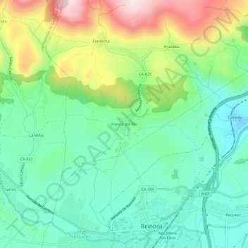
Name: Fresno del Río topographic map, elevation, terrain.
Location: Fresno del Río, Campoo de Enmedio, Cantabria, 39212, España (42.99751 -4.16389 43.03751 -4.12389)
Average elevation: 943 m
Minimum elevation: 787 m
Maximum elevation: 1,267 m