
Lovera topographic map
Interactive map
Click on the map to display elevation.
About this map
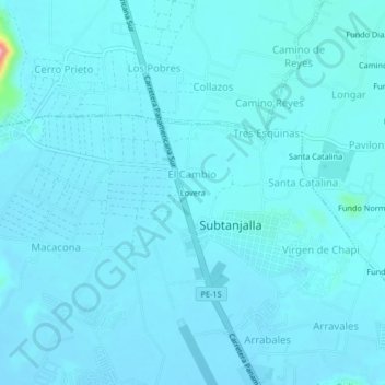
Name: Lovera topographic map, elevation, terrain.
Location: Lovera, Subtanjalla, Provincia de Ica, Ica, Perú (-14.03526 -75.78243 -13.99526 -75.74243)
Average elevation: 424 m
Minimum elevation: 414 m
Maximum elevation: 568 m