Geolocate

Baregbeg topographic map

Click on the map to display elevation.

About this map

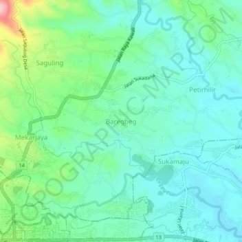
Name: Baregbeg topographic map, elevation, terrain.

Location: Baregbeg, Ciamis, West Java, Java, 46274, Indonesia (-7.32651 108.35077 -7.28651 108.39077)

Average elevation: 176 m

Minimum elevation: 133 m

Maximum elevation: 309 m

Other topographic maps

Click on a map to view its topography, its elevation and its terrain.

Sadananya

Indonesia > West Java > Ciamis

Average elevation: 538 m

Sindangkasih

Indonesia > West Java > Ciamis

Average elevation: 442 m

Mangkubumi

Indonesia > West Java > Ciamis

Average elevation: 351 m

Kertasari

Indonesia > West Java > Ciamis > Ciamis

Average elevation: 181 m

Cijeungjing

Indonesia > West Java > Ciamis

Average elevation: 167 m

Lakbok

Indonesia > West Java > Ciamis

Average elevation: 22 m

Panyingkiran

Indonesia > West Java > Ciamis > Ciamis

Average elevation: 246 m

Gear up for your next adventure:

🥾Light Hiking Boots - Lightweight and comfortable boots for day hikes
🧴Outdoor Sunscreen - High SPF protection for high-altitude UV exposure
🥾Mountain Hiking Shoes - Shoes with superior grip for mountainous terrain
🎒Fully Waterproof Backpack - Total protection for photography gear and electronics
🔦LED Flashlight - Powerful and long-lasting flashlight for camping and emergencies

As an Amazon Associate, this site earns from qualifying purchases at no extra cost to you.