
Hohe Börde topographic map
Interactive map
Click on the map to display elevation.
About this map
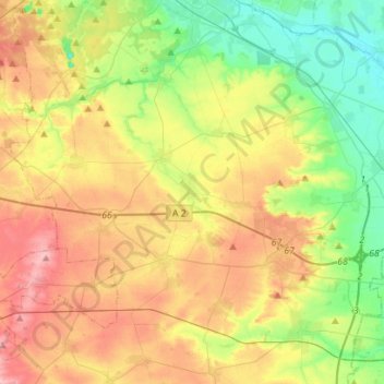
Name: Hohe Börde topographic map, elevation, terrain.
Location: Hohe Börde, Börde, Saxe-Anhalt, Allemagne (52.11245 11.28922 52.28134 11.56993)
Average elevation: 112 m
Minimum elevation: 46 m
Maximum elevation: 187 m