
Postville topographic map
Interactive map
Click on the map to display elevation.
About this map
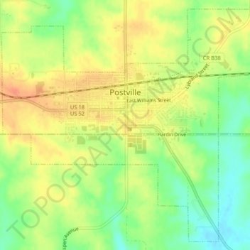
Name: Postville topographic map, elevation, terrain.
Location: Postville, Allamakee County, Iowa, United States of America (43.06918 -91.58826 43.09630 -91.54839)
Average elevation: 355 m
Minimum elevation: 331 m
Maximum elevation: 374 m