
Thank you for supporting this site ❤️
Make a donation
Make a donation
Gear up for your next adventure:
As an Amazon Associate, this site earns from qualifying purchases at no extra cost to you.
Panchrukhi topographic map
Click on the map to display elevation.
Thank you for supporting this site ❤️
Make a donation
Make a donation
Gear up for your next adventure:
As an Amazon Associate, this site earns from qualifying purchases at no extra cost to you.
About this map
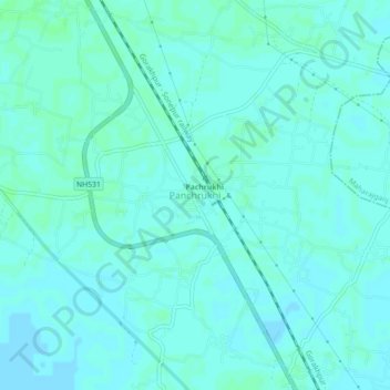
Name: Panchrukhi topographic map, elevation, terrain.
Location: Panchrukhi, Pachrukhi, Siwan, Bihar, 841241, India (26.13995 84.39575 26.17995 84.43575)
Average elevation: 62 m
Minimum elevation: 60 m
Maximum elevation: 65 m
Thank you for supporting this site ❤️
Make a donation
Make a donation
Gear up for your next adventure:
As an Amazon Associate, this site earns from qualifying purchases at no extra cost to you.