
Ban Muang Ba topographic map
Interactive map
Click on the map to display elevation.
About this map
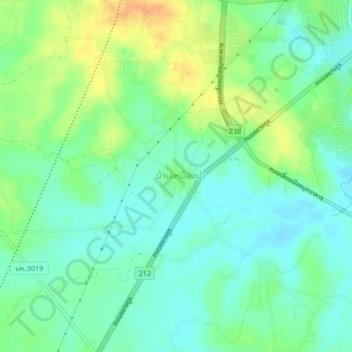
Name: Ban Muang Ba topographic map, elevation, terrain.
Location: Ban Muang Ba, Mukdahan Province, 49000, Thailand (16.50261 104.66171 16.54261 104.70171)
Average elevation: 158 m
Minimum elevation: 145 m
Maximum elevation: 178 m